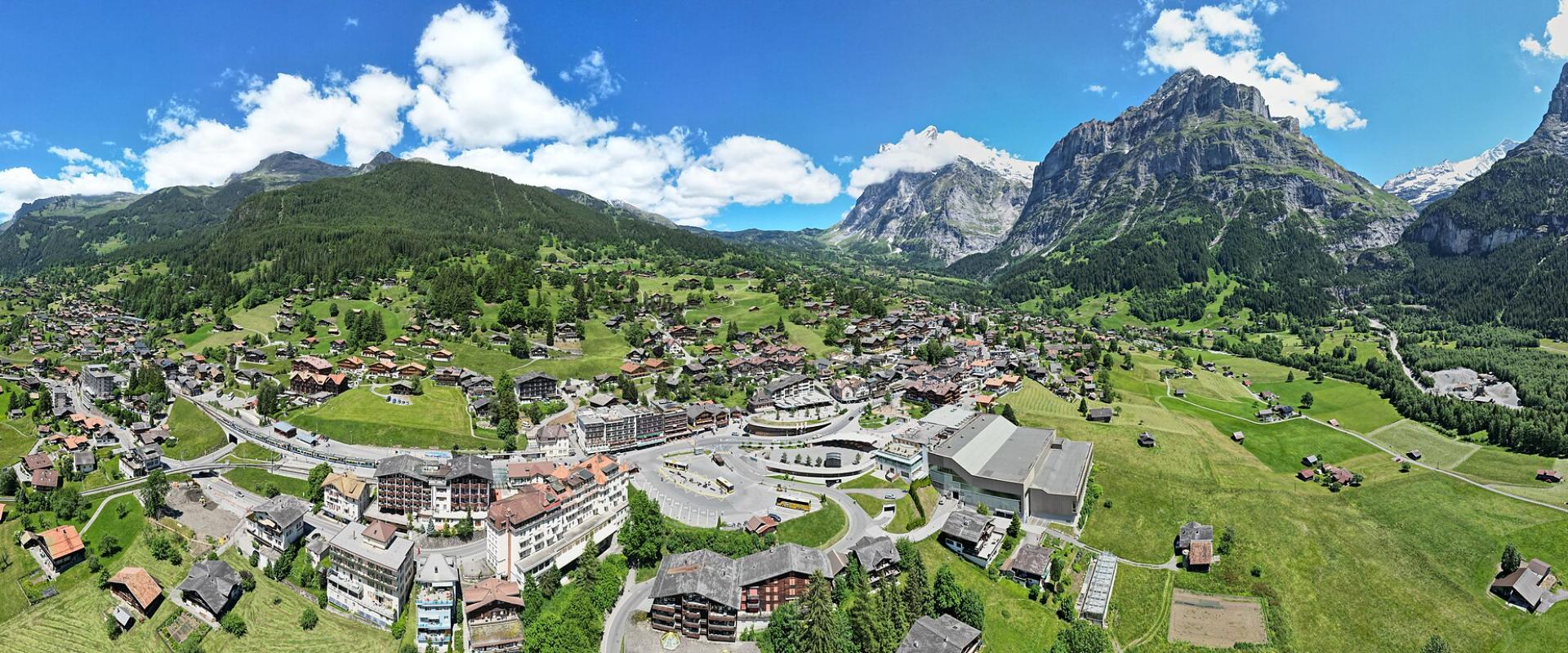
Grindelwald
Chalet village beneath the Eiger north face, base for First and Männlichen
Grindelwald sits in the valley of the Schwarze Lütschine, a broad, open bowl that is surprisingly sunny for a village so close to the high peaks. On one side rise the Eiger, the Mettenberg and the Wetterhorn; on the other, the gentler slopes of First and the Faulhorn. Two glaciers, the Upper and Lower Grindelwald Glaciers, once reached almost down to the village floor. They have retreated far up their valleys since the 19th century, but their gorges and moraines are still part of the landscape.
History and Heritage For most of its history Grindelwald was a farming community, grazing cattle on the high alps in summer, and much of its land is still managed by traditional alp cooperatives. Tourism began in the late 18th and early 19th centuries, when travellers came to look at the glaciers, and the village grew rapidly during the golden age of mountaineering. The first ascent of the Wetterhorn from Grindelwald in 1854 is often seen as the start of that era. The Eiger, first climbed in 1858, became world famous in the 20th century for its north face, which was first climbed in 1938 after several fatal attempts. The arrival of the Berner Oberland railway in 1890 and the Wengernalp Railway in 1893 brought visitors in large numbers, and Grindelwald also became one of the early winter resorts in the Alps.
Main Attractions The Eiger north face dominates the village, and the best way to appreciate it is from the Eiger Trail, which runs along its foot from Eigergletscher down to Alpiglen. First, reached by gondola, is the most popular summer excursion: the First Cliff Walk, a steel walkway bolted to the rock face below the summit station, has become one of the region's best-known viewpoints, and families come for the First Flyer zip line, mountain carts and scooters on the way down. An easy, well-trodden path leads from First to the Bachalpsee, a mountain lake whose still water reflects the peaks of the Schreckhorn and Finsteraarhorn.
On the other side of the valley, the Männlichen gondola climbs to a ridge with views over both Grindelwald and the Lauterbrunnen Valley, and the walk from Männlichen to Kleine Scheidegg is one of the easiest and most scenic in the Alps. Close to the village, the Glacier Canyon, carved by the Lower Grindelwald Glacier, is explored on walkways fixed into its walls. The Grindelwald Terminal, at Grund, links the train with the Männlichen gondola and the Eiger Express, which opened in 2020 and shortened the trip to the Jungfraujoch.
Winter In winter Grindelwald is part of the Jungfrau ski region, with pistes on First and on the Kleine Scheidegg-Männlichen side linking towards Wengen. The village is known for its sledging, including long runs from the Faulhorn area, and for winter walking trails.
Getting There and Around Trains of the Berner Oberland Bahn from Interlaken Ost reach Grindelwald in a little over half an hour. Grindelwald can also be reached by car, unlike Wengen and Mürren. Local buses connect the village with Grund, the First valley station and outlying hamlets, and mountain transport runs from three valley stations. Many visitors combine Grindelwald with a trip to the Jungfraujoch and a ride down through Kleine Scheidegg and Lauterbrunnen to complete a circuit of the region.
Practical Tips Summer is the busiest season, and the First gondola and Eiger Express can be crowded in the middle of the day, so early starts pay off, both for queues and for clear mountain views. The weather changes quickly at altitude; check the webcams before buying expensive tickets, and bring warm layers even in July. Regional passes or the Swiss Half Fare Card can reduce the high cost of mountain transport.
Best time to visit
Late June to September for hiking, First and the lakes; mid-December to March for skiing and sledging.
What to see in Grindelwald
Our picks first.
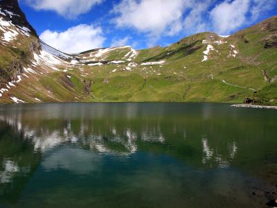
Bachalpsee
Mountain lake reflecting the Schreckhorn, an hour's walk from First
Free Natural Wonders · Walking Trails
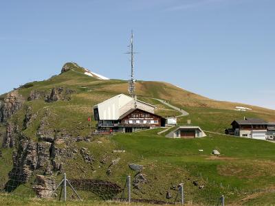
Männlichen
Ridge-top viewpoint and start of the panorama trail to Kleine Scheidegg
Mountains · Viewpoints
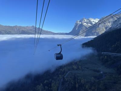
Eiger Express
Tricable gondola from Grindelwald to Eigergletscher and the Jungfraujoch trains
Activities & Adventure · Mountains
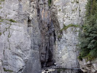
Glacier Canyon (Gletscherschlucht Grindelwald)
Walkways and a giant net inside a gorge carved by the Lower Grindelwald Glacier
Natural Wonders · Walking Trails
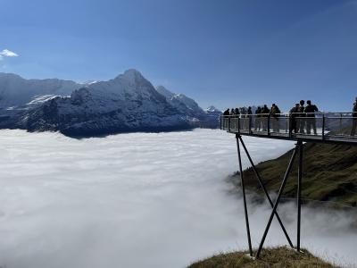
First and the First Cliff Walk
Cliff-edge walkway and adventure rides on the mountain above Grindelwald
Mountains · Viewpoints
Grindelwald by interest
The same sights, grouped by what you came for.
Planning a visit to Grindelwald
Good to know
- Currency
- CHF
- Language
- German, French, Italian and Romansh
Quick Facts
Book your stay
Questions people ask
More places in Bernese Oberland
Bernese Oberland
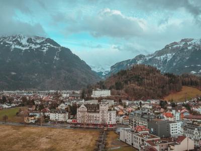
Interlaken
Gateway to the Swiss Alps between two lakes
Bernese Oberland
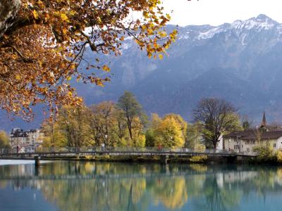
Jungfrau Region
Iconic alpine region with peaks, valleys, and adventure
Bernese Oberland
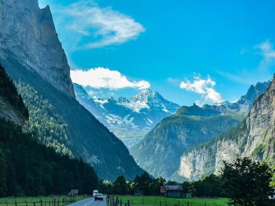
Lauterbrunnen
Waterfall valley at the foot of the Jungfrau, gateway to Wengen and Mürren
Bernese Oberland
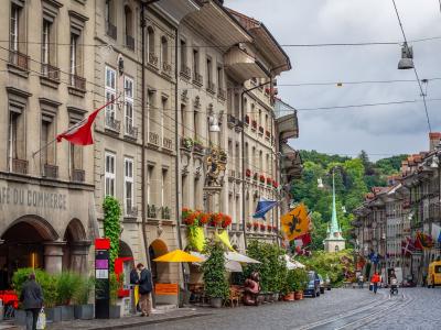
Bern
UNESCO old town, arcades, and river views in Swiss capital