- Hours
- Guided tours available.
- Where
- Vals, Graubünden
- Directions
- Directions
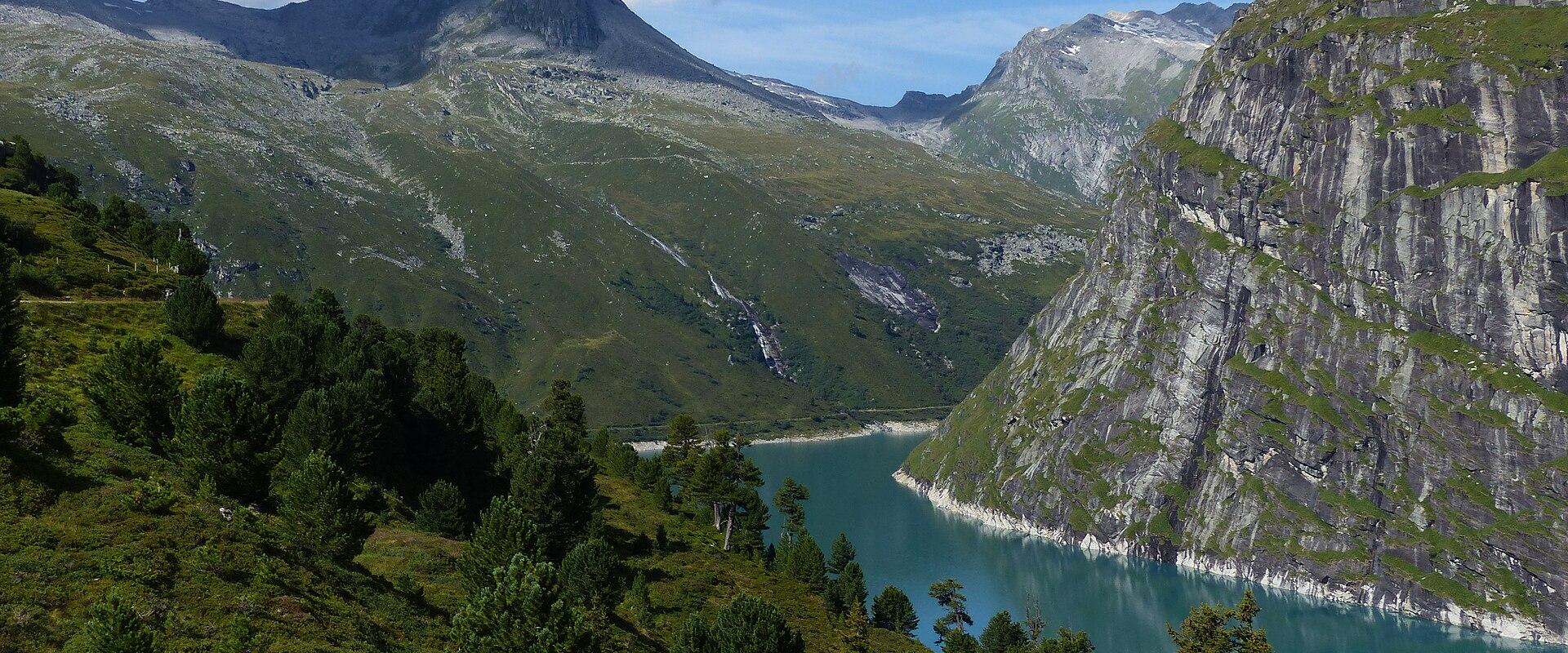
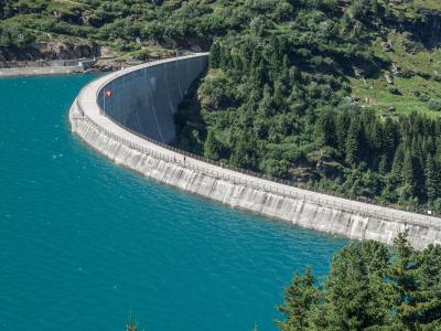
The Zervreilasee is a reservoir at the head of the Valsertal, a side valley in the canton of Graubünden, and the dam that holds it is one of the better-known engineering works in the eastern Alps. The village of Vals, famous for its thermal baths designed by the architect Peter Zumthor, lies at the lower end of the valley, and a narrow road winds some ten kilometres up past farms and meadows to the dam. The dam was completed in 1957 and is an arch dam, a curved wall of concrete that transfers the pressure of the water into the rock on each side of the gorge. At 151 metres, it is among the taller dams in Switzerland, and it creates a lake at about 1,860 metres above sea level.
The reservoir was built to store water for hydroelectric power, and the construction flooded the high pasture hamlet of Zervreila, which gave the lake its name and whose chapel and houses now lie under the water. The people who lived there year-round moved down the valley, and some houses were moved. The loss of a mountain community is one of the stories that accompanied the building of dams in the Alps in the twentieth century, when the demand for electricity led to the damming of many high valleys. In years when the water level is low, remains can sometimes be seen, though this depends on the conditions.
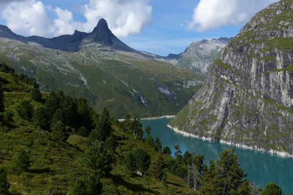
The scenery is the main attraction for visitors. The lake is a long, deep green or blue body of water surrounded by steep slopes and high peaks of the Adula Alps. Dominating the head of the valley is the Zervreilahorn, a pyramid-shaped mountain nearly 2,900 metres high, which is sometimes called the Matterhorn of Graubünden for its distinctive form, although it is much lower than its famous counterpart. Other peaks around the lake, such as the Güferhorn and Fanellhorn, add to the alpine character. The dam wall can be viewed from the road and from the walkways, and a short path leads across and around the lake.
Hiking is popular here. A trail circles the reservoir and others climb into the surrounding mountains, with routes of varying length and difficulty. The Zervreilahorn can be climbed by experienced mountain walkers, though the final part is steep and exposed. For those who prefer easier outings, the shore path offers views of the water and mountains, and on warm days walkers picnic on the banks. In winter, the road may be closed because of snow and avalanche risk, so access is limited, and the landscape is a quiet world of white. Spring brings rushing meltwater and wildflowers.
Reaching the dam is possible by car and by postal bus from Vals, which runs on a seasonal timetable, so check the schedule before you travel. A visit pairs naturally with the baths in Vals and with other walks in the Valsertal. Weather can change quickly at this altitude, so bring warm clothing, sturdy shoes and sun protection. The site suits walkers, photographers and anyone interested in hydroelectric engineering and alpine landscapes. Allow two to four hours for the dam and a walk by the lake.
Categories
More photos coming soon
Opening Hours
- Open
- Guided tours available.
Hours and prices change, especially out of season. Check with the venue before you go.
Nearby Attractions
Other places to visit in Vals
Safiental Valley
Walser heritage valley in Graubunden, Switzerland
Free Activities & Adventure · History & Heritage
Therme Vals
Peter Zumthor's quartzite thermal bath in Vals, Switzerland
From CHF 35 Cultural Experiences · Natural Wonders
Zervreila (location For Downhill Scooters)
Downhill scooters at 1,860m in Vals
From CHF 19 Activities & Adventure · Natural Wonders
Questions people ask
Quick Facts
Best Time to Visit
June to September offers mild weather, open hiking trails, and the best conditions for enjoying Vals’ spa, nature, and alpine scenery.