- Hours
- Suspended until late autumn 2026 due to track renewal works; cable car is currently out of...
- Where
- Säntis, Eastern Switzerland
- Directions
- Directions
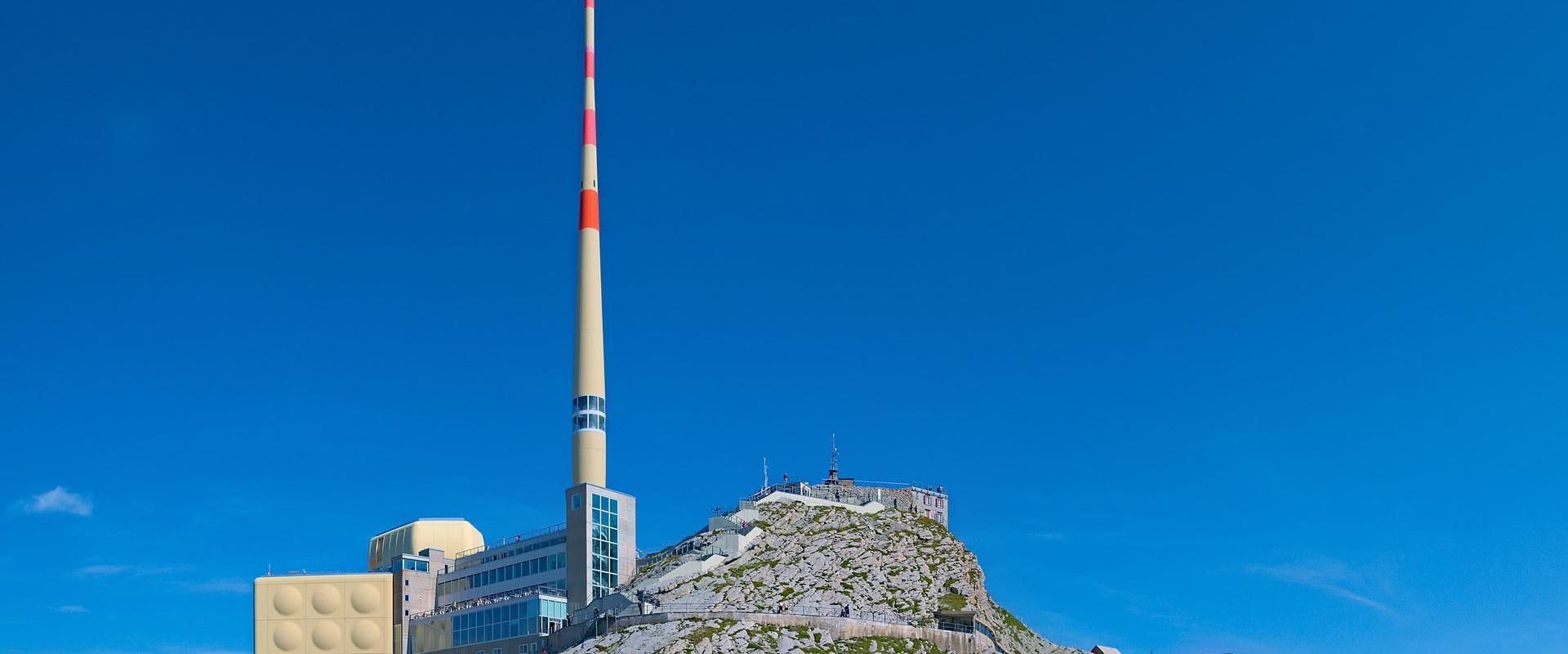
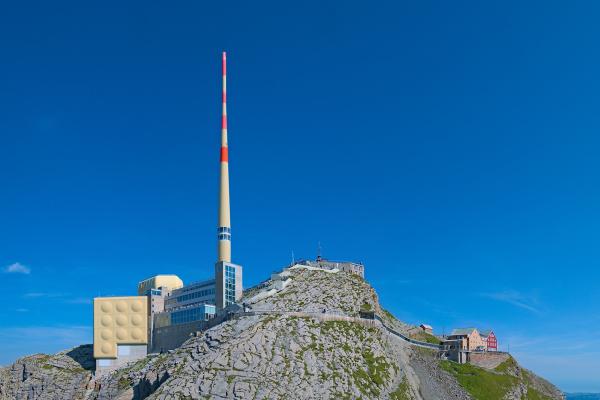
The Säntis is the highest mountain of the Alpstein range in north-eastern Switzerland, at 2,502 metres, and it is one of the best-known peaks in the country, partly because it stands so far forward of the main Alps. It rises abruptly above the rolling hills of eastern Switzerland, and the summit is shared by three cantons, Appenzell Ausserrhoden, Appenzell Innerrhoden and St. Gallen. For many people in the north and east of the country, it is the mountain they see from their windows, and its profile, with a tall transmission tower on top, is a familiar sight from Lake Constance and the Rhine valley.
The geology of the Säntis is unusual and well known to geologists. The mountain is made of limestone and marl laid down in a sea during the Cretaceous period, and it was pushed north and folded when the Alps were formed. The result is a series of huge, wave-like folds, which can be seen in the rock faces and ridges, and which make the Säntis a classic example of Alpine folding. The limestone is dissolved by rain and meltwater, so the mountain has many caves, sinkholes and karst features, and water often disappears underground. In the nineteenth and twentieth centuries, scientists came to study the structure of the mountain, and it contributed to ideas about how mountain ranges form.
The climate is another distinctive feature. Because the Säntis is the first high mountain that moist air from the Atlantic meets as it moves across the lowlands, it receives a lot of rain and snow, and the weather at the summit can be severe, with storms, fog and strong winds. A weather station has operated on the summit since the late nineteenth century, and it is one of the oldest high-altitude stations in Switzerland, collecting data used in meteorology and climate research. The station and the tower, which carries radio and television transmitters, are part of the summit complex, along with a restaurant and a terrace.
The panorama from the top is vast. On clear days you see across Lake Constance to Germany and Austria, down to the Rhine valley and Liechtenstein, over the hills of eastern Switzerland and, to the south, the long line of the Glarus, Graubünden and Bernese Alps. The summit is often said to offer a view of six countries, though what is visible depends on the weather. Many visitors take the cable car from Schwägalp for the ride and the view, and a good number choose to walk, with routes leading up from Schwägalp, Wasserauen and other starting points. The walks demand good fitness and sturdy boots, and the upper sections are steep and exposed, with fixed cables and tunnels cut into the rock in places.
The weather changes rapidly, so check the forecast and the webcams, and carry warm, windproof clothing, even in summer. Snow can stay on the north-facing slopes until early summer, and ice may form again in early autumn. The mountain suits walkers, photographers and anyone curious about geology. Allow half a day for the cable car and the summit, and a full day for a hike.
Categories
More photos coming soon
Opening Hours
- Open
- Suspended until late autumn 2026 due to track renewal works; cable car is currently out of service.
Hours and prices change, especially out of season. Check with the venue before you go.
Nearby Attractions
Other places to visit in Säntis
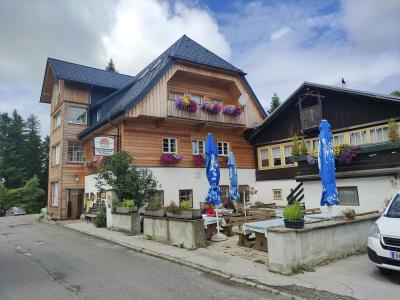
Gasthaus Passhöfe
Mountain inn at 1280 meters in the Appenzell Alps
Free Food & Gastronomy · Natural Wonders
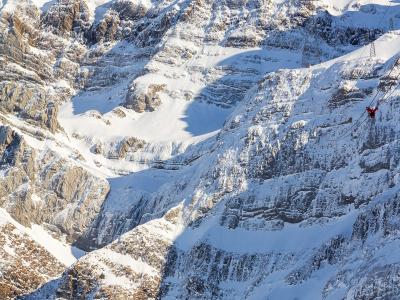
Observation Deck
360° alpine views from 2,501m summit
From CHF 58 Natural Wonders
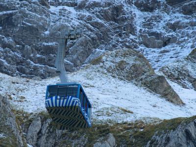
Schwägalb Suspension Railway (Seilbahn)
Suspension railway to 2,502m peak
Activities & Adventure · Natural Wonders
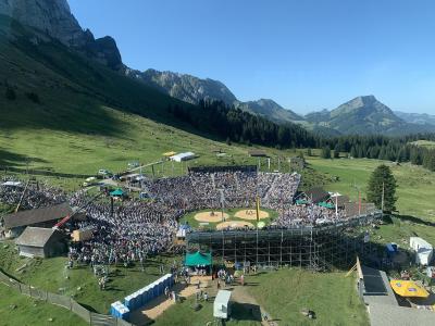
Schwägalp (Station/Plateau)
Year-round alpine park at 1,350m in Appenzell
Activities & Adventure · Natural Wonders
Questions people ask
Quick Facts
Best Time to Visit
June to September offers mild weather, clear views, and open trails—ideal for hiking, cable car rides, and panoramic sightseeing on Säntis.