
- Where
- Chur, Graubünden
- Directions
- Directions
The Dreibündenstein Panorama Trail is a high hike above Chur, in Graubünden, that links the ridge above the city with the village of Feldis on the opposite side of the Rhine valley. The walk starts at Brambrüesch, the hill terrace above Chur that is reached by a cableway from the edge of the old town, and it climbs steadily through meadows and open slopes to the summit area of the Dreibündenstein. The summit stands at around 2,160 metres and takes its name from the three old leagues of Graubünden, the Gotteshausbund, the Grauer Bund and the Zehngerichtenbund, whose territories once met here. A boundary stone marks the point, and it is regarded as a reminder of Graubünden’s history and of how the Free State of the Three Leagues, the forerunner of the modern canton, was organised.
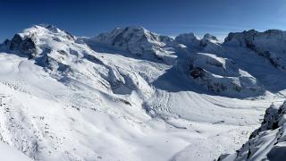
On the way, the path crosses open alpine pasture with wildflowers in summer and passes lookout points at spots like Furggabüel, where panorama tables identify the peaks. The view is wide and varied: to the south and east are the peaks of the Rhaetian Alps, to the north the Ringelspitz and the Tödi with the high ranges of the Glarus Alps, and to the west the broad valley of the Rhine, with the Tectonic Arena Sardona UNESCO site, an area of striking mountain structure, spread out across the horizon. Because the trail runs along open ridges, the views are changing and broad for most of the day.
After the summit, the route descends through forested slopes toward Feldis, a small, sunny village on a terrace above the Domleschg valley. From Feldis a cable car runs down to Rhäzüns, where trains run back to Chur, so the hike works as a one-way traverse without needing a car. The walk takes several hours and involves a few hundred metres of climbing and a longer descent, so it is best for hikers with some mountain experience and decent fitness. Check the weather before you start, as thunderstorms in summer can arrive quickly on the exposed ridge, and carry water, sun protection and a rain jacket.
The trail belongs to the walking network of the Chur region, and it forms part of what makes the city a good base for mountain days. On the way you can combine it with a visit to Brambrüesch for other trails, or return to Chur’s old town and its cathedral after the walk. In winter, the area around Brambrüesch is used for snowshoe walks and winter hiking, and the route has a different, quieter atmosphere under snow.
The hike suits experienced walkers, photographers and anyone who wants a high panorama within easy reach of a city. A good time to go is between early summer and early autumn, when the cableways run and the paths are free of snow.
Categories

More photos coming soon
Nearby Attractions
Other places to visit in Chur
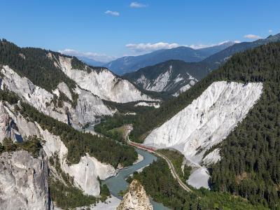
Rhine Gorge (Swiss Grand Canyon)
Dramatic Alpine gorge with scenic rail and trails
Activities & Adventure · Natural Wonders
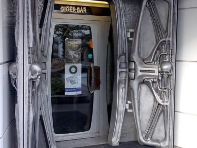
Alien-themed Bar (Chur)
Alien-themed bar designed by H.R. Giger in Chur
Food & Gastronomy
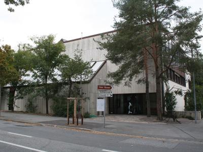
Graubünden Museum Of Nature
Alpine biodiversity and geology of Graubünden
Cultural Experiences · Museums
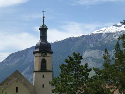
Chur Cathedral
800-year-old cathedral with magnificent interior
Cultural Experiences · History & Heritage
Questions people ask
Quick Facts
Best Time to Visit
May to September offers mild weather, lively old town, and ideal conditions for hiking, sightseeing, and exploring Chur’s alpine surroundings.