- Where
- Arosa, Graubünden
- Directions
- Directions
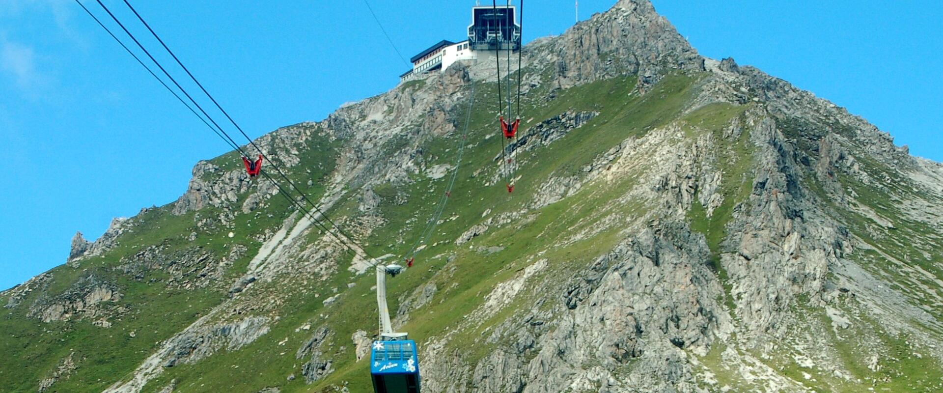
The Weisshorn above Arosa is a mountain of 2,653 metres, and its summit is reached by cable car from the village. It is one of the main viewpoints of the Plessur Alps, the range that rises behind Arosa and separates the Schanfigg valley from the Davos region. Arosa itself lies at the end of a long valley road with many bends, at about 1,775 metres, and it has the feel of a resort set apart from the world, ringed by mountains and forests. The Weisshorn is the point from which you can see how the village is set, in a high basin with lakes and pine woods, and beyond it the larger mountain world.
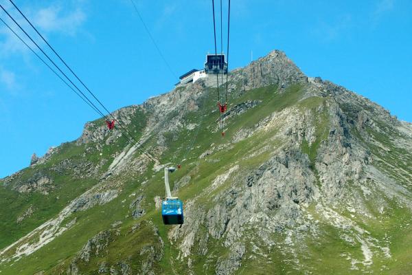
The name causes confusion, since there is another, much higher Weisshorn in Valais, one of the great 4,000-metre peaks. The Arosa mountain is a gentler and lower summit, though still a serious mountain for anyone who walks up. It is reached from the village by a gondola in several stages, which lifts you in a few minutes to a station close to the top, and from there a short path leads to the summit cross and platform. The ride itself gives changing views over the lakes and the roofs of Arosa, and the vegetation changes from spruce forest to pasture and finally to bare rock.
The view from the top is wide. Toward the north, the Rhine valley around Chur opens out below, with the hills beyond, and on the south and west rise the ranges of the Albula and the Bernese and Valais Alps in the distance. To the east, the peaks above Davos and the Silvretta mountains show their snowfields, and the summit panorama includes hundreds of named peaks that are identified on a panel at the summit. The sense of space is greatest at midday on a clear day and in the late afternoon, when the angle of the sun picks out the ridges.
A restaurant at the summit station serves lunch and drinks on a terrace facing the view, and in summer many walkers stop for a meal before starting down. The area is one of the main hiking zones around Arosa, and several routes lead from the Weisshorn, including a well-known ridge walk along the Hörnli and Hörnligrat, a high trail with open views and some steep sections. In winter, the same slopes form part of the Arosa Lenzerheide ski area, which links the village to the neighbouring resort of Lenzerheide, and the Weisshorn is one of the major access points. Skiers and snowboarders can reach it from the village, and in some conditions there are off-piste routes that require experience.
The cable car operates seasonally, with a break in spring and autumn, and its timetable and prices change from year to year, so check the operator's website before you go. At this height the weather changes quickly, and it can be cold and windy even in summer, so bring layers, sunglasses and sun protection. The summit suits walkers, photographers and families, and the ride is accessible for most people. Allow two to three hours for a visit with a meal, and more if you plan to walk down. Combine the trip with the Bear Sanctuary or a stroll by the Obersee in Arosa.
Categories
More photos coming soon
Nearby Attractions
Other places to visit in Arosa
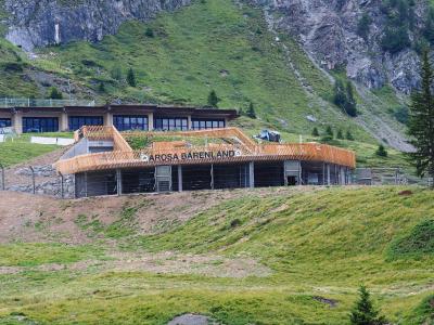
Arosa Bear Sanctuary (Bärenland Aros)
High-altitude bear sanctuary in the Swiss Alps
From CHF 6 Natural Wonders
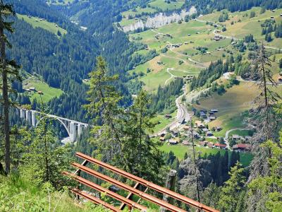
Grisons Walser Village
Historic Walser settlement in Grisons, Switzerland
Guided Tours · Historic Towns
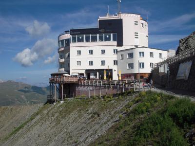
Jakobshorn Summit
Alpine summit at 2,590 meters in the Swiss Alps
Activities & Adventure · Natural Wonders
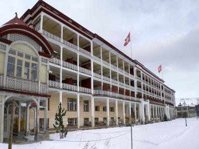
Schatzalp
Historic Art Nouveau hotel in A Davos
Cultural Experiences · History & Heritage
Questions people ask
Quick Facts
Best Time to Visit
June to September offers mild weather, blooming trails, and lake activities; December to April is best for skiing and winter sports in Arosa.