
Sefinental Valley (hiking Trail To Chilchbalm)
Moderate hike to glacial basin in Sefinental Valley
- Hours
- Open 24 hours (trail is accessible), but weather conditions should be checked.
- Where
- Gimmelwald, Bernese Oberland
- Directions
- Directions
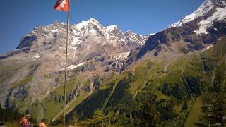
The Sefinental Valley is the quiet valley behind Gimmelwald, the tiny car-free village on a ledge above the Lauterbrunnen valley in the Bernese Oberland. While most visitors take the cable cars to Mürren, the Schilthorn and the Jungfrau region’s better-known viewpoints, the Sefinental offers a walk into a very different landscape: a deep, glacial valley of meadows, forest, waterfalls and rock walls, with almost no buildings and few people. The valley is drained by the Sefinen Lütschine, a stream that joins the Lauterbrunnen valley’s river at Gimmelwald, and it ends at a steep cirque below the Gspaltenhorn and the peaks of the Blüemlisalp range.
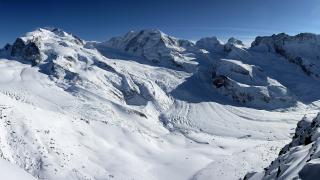
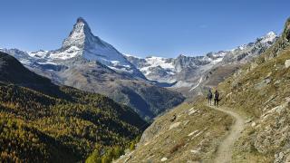
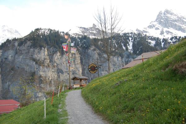
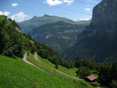
The hike starts from Gimmelwald, which is reached by cable car from Stechelberg at the end of the Lauterbrunnen valley, or on foot from Mürren, and climbs on a good path into the valley. The trail leads through pastures dotted with alpine huts and fenced hay meadows, past waterfalls pouring from high cliffs and through stands of spruce and larch. The path is well marked and, though steady, is within the reach of walkers of moderate fitness, with a gradual climb that takes several hours to reach the head of the valley and the same to return. The scenery grows wilder with height. Snow remains in the gullies into summer, and at the top the valley closes in under steep walls, with glaciers and rock above and a roaring stream below.
The destination, Chilchbalm, lies at the upper end of the valley, in a high basin below the peaks. The name is a Bernese dialect word; Chilch means church and Balm is a rock overhang or shelter, which suggests a sheltered spot that was once used as a natural place of gathering. The setting is a quiet, high pasture surrounded by cliffs, a place for resting, eating a picnic and looking at the peaks. In spring and early summer, the meadows are covered with flowers, in autumn the larches turn gold, and in the middle of summer, you may meet only a few other walkers, cattle and the odd chamois.
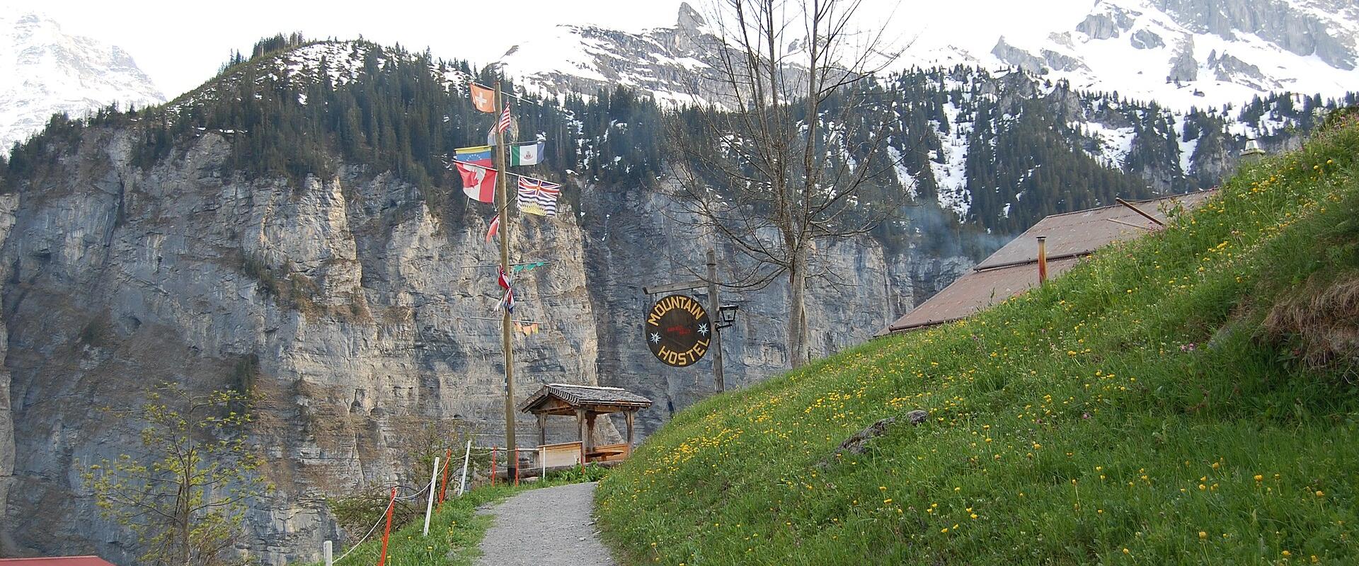
The walk needs preparation. It is a full day, so start early, carry water and food, and bring warm and waterproof clothing, as the weather in the high mountains changes quickly. The path can be slippery after rain, and snowfields may linger on higher sections in early summer, so check conditions before going. There are no shops or restaurants in the valley, and facilities are basic, though Gimmelwald has a small hostel and guesthouses.
The valley suits hikers who like solitude, photographers and anyone who wants to escape the crowds of the Jungfrau region. It combines well with a night in Gimmelwald, and a morning view of the peaks from the village.
Categories
More photos coming soon
Opening Hours
- Open
- Open 24 hours (trail is accessible), but weather conditions should be checked.
Hours and prices change, especially out of season. Check with the venue before you go.
Nearby Attractions
Other places to visit in Gimmelwald
Questions people ask
Quick Facts
Best Time to Visit
Late May to early October offers mild weather, open trails, and blooming meadows—ideal for hiking and enjoying Gimmelwald’s alpine scenery.