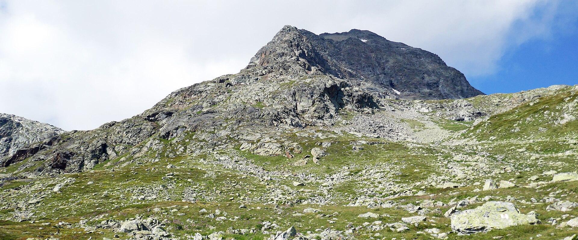
- Where
- Celerina, Graubünden
- Directions
- Directions
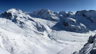
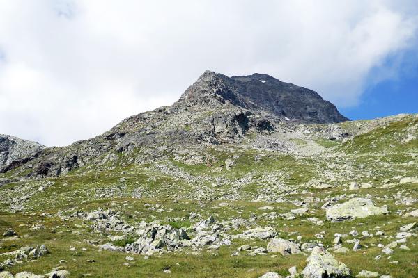
Munt Pers is a mountain of 3,207 metres in the Bernina group, in the Upper Engadine, and it is one of the best viewpoints for the glaciers and peaks of the range. It rises on the ridge above the Diavolezza pass, to the north of the Bernina Pass road, and its summit is a rounded rocky crest with an unobstructed look at the great ice-covered faces across the valley. The Bernina massif holds the highest peak of the eastern Alps, Piz Bernina, at 4,049 metres, and from Munt Pers you look directly at it, across the Pers glacier and the Morteratsch glacier valley, with the long white ridge of Piz Palü and the sharp rock and ice of the Bellavista summits in the foreground.
The usual route starts from the Diavolezza cable car station, at about 2,970 metres, which is reached by a cable car from the Bernina road, so most of the altitude is gained by lift. From the top station a path leads along the ridge toward Munt Pers, over rock and boulders, with some short climbs and descents, and it takes about an hour or two each way, depending on fitness and conditions. The walk is a mountain hike, not a technical climb, but it needs sturdy boots, a head for heights on the ridge and sure-footedness, since the terrain is rough and exposed, and snow can linger on the path well into summer. The route has some places where hands may be needed. Hikers who start lower down, from the pass or the valley, face a much longer day with greater ascent, and for them the walk becomes a serious high-mountain undertaking.
The view from the summit is the reward. Across the valley lie the glaciers of the Bernina group, whose ice has retreated sharply in the last century, leaving moraines and meltwater lakes, and a landscape of striking contrasts between white ice, grey rock and the green and gold of the valleys below. On the north side, the view takes in the Upper Engadine with its lakes and the Albula and Silvretta ranges, and to the east the Livigno mountains and the peaks along the Italian border. In clear conditions you can see for a very long way, and the early morning light is especially beautiful. Wildlife includes ibex, chamois and marmots on the slopes, and the lower meadows have alpine flowers in early summer.
Conditions matter greatly. At over 3,000 metres, weather changes quickly, with storms, fog, strong winds and snow possible even in summer, and the air is thin, so people who are not used to altitude may feel breathless or tired. Wear layers, a waterproof jacket, gloves and a hat, use sun protection and carry water and food, and check the forecast and the lift timetables, so that you do not miss the last cable car down. Do not leave the marked path on the glacier side, since crevasses and unstable ground are dangerous.
The summit suits experienced walkers and mountain lovers. Allow half a day from Diavolezza, and a full day if you start lower. Respect the high-mountain environment and take your rubbish with you.
Categories
More photos coming soon
Nearby Attractions
Other places to visit in Celerina
Questions people ask
Quick Facts
Best Time to Visit
Visit from June to September for warm weather and open trails, or December to March for prime skiing conditions.