- Admission
- Free
- Hours
- Open 24 hours (outdoor alpine environment)
- Where
- Rheinwald, Graubünden
- Directions
- Directions
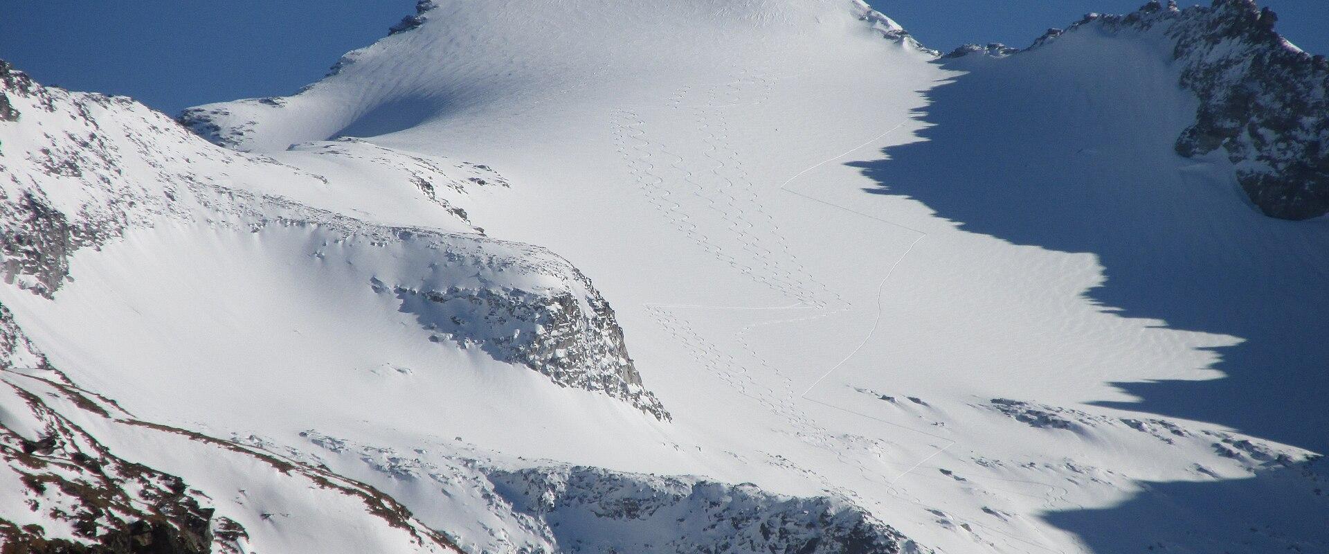
The Rheinwaldhorn, sometimes written Rhinelandhorn in English, is the highest peak in the Adula Alps and the highest mountain in the canton of Ticino, at 3,402 metres above sea level. It stands on the border between Ticino and Graubünden, at the head of the Rheinwald, the high valley through which the Hinterrhein, the upper branch of the Rhine, flows. The name comes from the valley, not from the Rhineland of Germany, which is a common source of confusion. In Romansh the mountain is called Piz Valrhein, and in Italian it is often known as the Adula, after the surrounding massif, a name that goes back to ancient geographers.
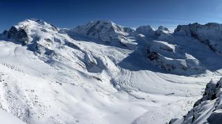
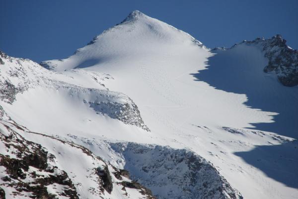
The mountain is a large, glaciated peak, with a broad summit region covered in ice and snow. Glaciers on its flanks feed the headwaters of the Hinterrhein, which rises from the Paradies glacier on the northern side, so the mountain is considered a source of the Rhine, one of the great rivers of Europe. The glaciers have been shrinking in recent decades, as elsewhere in the Alps, and the landscape around the mountain is changing, with new lakes and exposed rock appearing as the ice retreats.
The Rheinwaldhorn is a serious climb that requires experience in high-mountain travel. The ascent is not technical in the sense of requiring rock climbing, but it involves glacier travel, with the risks of crevasses, sudden changes in weather and avalanches, and it demands good fitness, as the climb takes many hours from the nearest hut. Climbers need an ice axe, crampons, a rope and the skills to use them, or they should hire a qualified mountain guide, which is the recommended option for anyone without glacier experience. Huts operated by the Swiss Alpine Club serve as bases, with the Capanna Adula on the Ticino side and the Zapporthütte on the Graubünden side among them, and they provide meals and beds in the climbing season. Reserving in advance is essential, and conditions in the huts depend on the season.
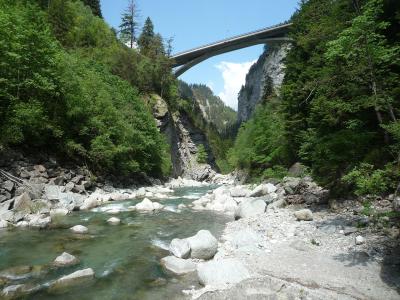
The summit gives a vast panorama over the Adula Alps, the Bernina group, the Bernese and Valais Alps in the distance and the valleys of Ticino and Graubünden. The landscape around the mountain, with its high pastures, lakes and rock walls, is also attractive for walkers who do not intend to climb, and several trails in the area give a taste of the region without the glacier. The nearby Viamala gorge and the Rheinwald villages, such as Splügen and Hinterrhein, are worth a visit, and the Splügen Pass is a historic route over the Alps.
Visitors must prepare carefully. Weather in the high Alps can change within minutes, and storms, fog and cold can arrive even in summer. Check forecasts, avalanche bulletins and glacier conditions with the local mountain guides or hut keepers before attempting any ascent. The best season for climbing is typically summer and early autumn. The mountain suits experienced mountaineers and guided groups, while casual visitors can enjoy the scenery from lower trails and viewpoints.
Categories
More photos coming soon
Hours & Fees
- Open
- Open 24 hours (outdoor alpine environment)
- Admission
- Free
Hours and prices change, especially out of season. Check with the venue before you go.
Nearby Attractions
Other places to visit in Rheinwald
Questions people ask
Quick Facts
Best Time to Visit
June to September offers mild weather, open trails, and ideal conditions for hiking, cycling, and exploring Rheinwald’s alpine villages and landscapes.