- Admission
- Approximately 20.44 CHF
- 39 CHF for lunch ticket
- Hours
- Daily 9:00 AM; last rides at 6:00 PM (off-season) or 8:00 PM (summer).
- Where
- Interlaken, Bernese Oberland
- Directions
- Directions
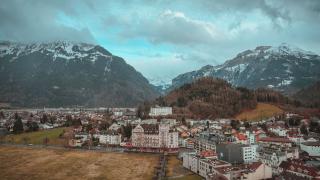
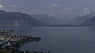
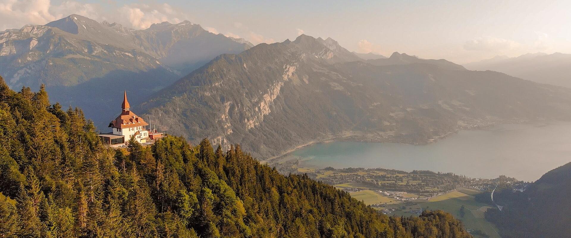
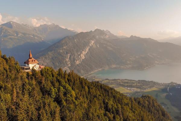
Harder Kulm is a hill of 1,322 metres directly above Interlaken, and its summit is known as the Top of Interlaken, a name that reflects its role as the town's main viewpoint. Interlaken lies on a narrow strip of flat land between two lakes, Thun and Brienz, which is where its name comes from, between the lakes, and from the Harder the geography is spread out below like a relief map: the two blue lakes, the green strip between them with the river Aare, the red roofs of the town and, behind, the great wall of the Bernese Alps with the Eiger, Mönch and Jungfrau. It is one of the best places to see why Interlaken became the starting point of Alpine tourism in the nineteenth century.
The way up is by a funicular, the Harderbahn, which has run since 1908. It starts in the town, close to the railway station Interlaken Ost, and climbs steeply through forest, with a gradient that makes it one of the steeper funiculars in Switzerland. The ride takes around ten minutes, and the carriages are small and old-fashioned in feel, though they have been modernised. The line was built during the golden age of Swiss mountain railways, when engineers vied to reach every notable viewpoint, and it has been a favourite excursion ever since. Opening times and timetables vary by season, and in summer there are later departures, which allow visitors to see the sunset and descend after dark, so check the current schedule.
At the top, a restaurant in a chalet-style building looks over the view, with a terrace where visitors can have lunch or a drink. A short walk leads to the main viewing platform, which juts out over the slope. This platform, known as the Two Lakes Bridge, gives a view down to the two lakes in one glance, and it has become one of the most popular photograph spots in the region. Other viewpoints and benches are set along the ridge, and a few easy walking paths lead through meadows and woods, with signs naming the peaks. In the evening, the mountains glow in the setting sun, and the lights of Interlaken come on below, so the last hour of the day is the most atmospheric.
A short distance from the summit, a small wildlife enclosure holds animals of the Alps such as ibex and marmots, which children enjoy. In winter the hill is quieter, but the funicular may still operate and the view of the snowy peaks is clear and crisp, though paths may be icy.
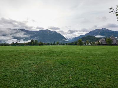
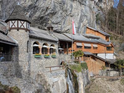
The funicular is easy to reach on foot from the station and from the town centre, and it can be combined with a stroll through Interlaken, along the Höhematte, the great meadow in the middle of town, where paragliders land. The St. Beatus Caves, on the shore of Lake Thun, are another popular nearby excursion.
The summit suits families, couples, photographers and anyone with a few hours to spare. Allow two to three hours for the ride, a walk and a meal. Bring a jacket, since it is cooler than in town, and check the weather, as cloud can obscure the peaks. Clear days after rain give the best visibility.
Categories
More photos coming soon
Hours & Fees
- Open
- Daily 9:00 AM; last rides at 6:00 PM (off-season) or 8:00 PM (summer).
- Admission
- Approximately 20.44 CHF; 39 CHF for lunch ticket
Hours and prices change, especially out of season. Check with the venue before you go.
Nearby Attractions
Other places to visit in Interlaken
Questions people ask
Quick Facts
Approximately 20.44 CHF
39 CHF for lunch ticket.
Best Time to Visit
Late June through early September offers warm weather and clear mountain views, ideal for outdoor activities.